Gear Reviews
Long-term reviews. Every piece here has real mileage on it.
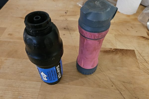
Sawyer Squeeze vs Platypus QuickDraw: Who Are You Sleeping With?
Sawyer Squeeze vs Platypus QuickDraw: integrity testing, flow rate, weight and sleeping-bag use, plus what Sawyer's 0.1 micron…
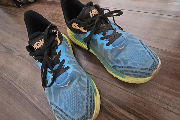
Hoka Challenger Review for Backpacking: 20 Pairs, Thousands of Miles
Hoka Challenger review from around 20 pairs worn on the PNT, CDT and Hayduke: how long they last,…
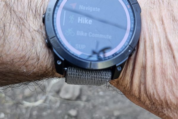
Best Hiking Watch for Backpacking: Why I Wear a Garmin Fenix
The best hiking watch for backpacking: real GPS battery numbers, why I wear a Garmin Fenix, which Fenix…
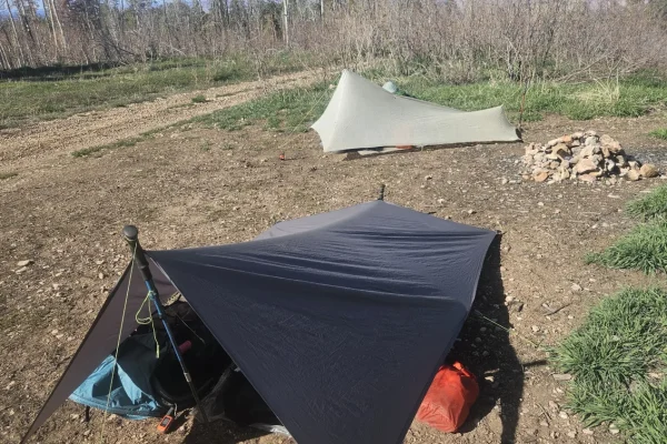
How to Set Up a Backpacking Tarp: Ultralight A-Frame Pitch & Guylines
How I set up a backpacking tarp for ultralight tarp camping: A-frame pitch, pre-cut guylines, bowlines and stakes,…
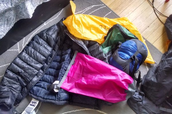
Ultralight Backpacking Gear: What over 300 Reddit Gear Lists Show
I’ve been a member of r/ultralight for long enough to have spent far too much time reading r/ultralight…
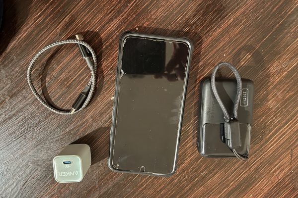
Smartphones for Backpacking: Phone Setup and Battery Strategy
Best smartphones for backpacking in 2026 — battery strategy, offline maps, and whether you actually need a dedicated…
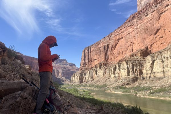
T-Satellite for Backpacking
My Prior Experience Last July I had been added to the open T-mobile Starlink (T-Satellite) Beta Test. This…

Gear Review: Good Shorts for Hiking (and Running)
A good pair of shorts for hiking or running may sound like a daunting task. Honestly, though, you’ll…

Best Convertible Hiking Pants: 5 Zip-Off Pairs Tested Over 15,000+ Miles (2026)
I tested 5 pairs of men's convertible (zip-off) hiking pants over 15,000+ trail miles. The Outdoor Research Ferrosi…