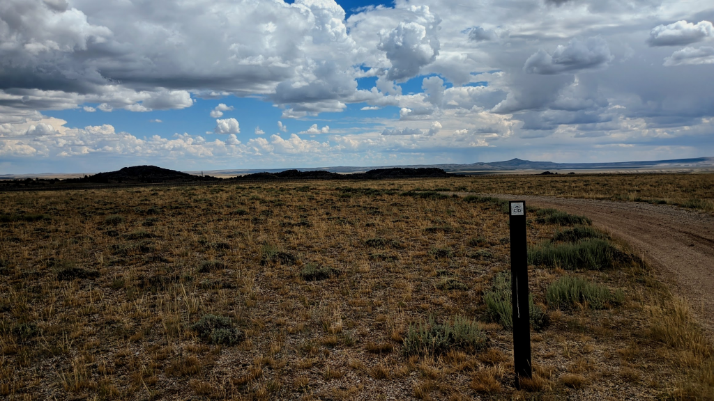
My journey comes to an end in a way that reflects the very nature of the CDT; standing at the end of a dirt road in the middle of nowhere. I’m waiting patiently for a car, any car, to take me to a town that I’ve never heard of (Rock Springs).
The Continental Divide defines America’s watersheds from “sea to shining sea.” As the Divide wriggles through the middle of this country, sending water out to the Atlantic and Pacific, it holds fascinating topography that creates entire regions and cultures.
The trail that follows this natural feature is full of difficulty and beauty, yet it is not only the topography of the Divide that the CDT captures. What makes the trail worth hiking is the contrast from one moment to the next. The contrast between the fairy tale trekking of Wyoming’s Wind River Range with the road walks featuring beer cans and cattle guards that are endemic to New Mexico. The contrast between boarded up windows of derelict structures that are all too soon replaced by the curated experiences of expensive ski resorts. The CDT is a walk through America in an often brutal, unfiltered way. More than that, the trail traverses through forgotten towns clinging to an identity of America that will never resurface.
The CDT encompasses beautiful mountain ridge lines and at least three National Parks of notorious splendor, but the trail also encompasses small towns throughout the country that are as unique as America’s governance of public lands. It is this that makes the CDT authentic to the title of “National Scenic Trail.” While the small towns of the CDT often serve as a window into a bygone era, the wilderness is navigated using topographic maps showing glaciers that no longer exist. The ephemeral reality of that which we mistake for eternal.
The political identities of the people and regions are as varied as the topography. The trail meanders across spectacular Blackfoot Nation lands that the federal government still runs a National Park from even after the lease has long-past expired. The trail also goes through privately held land, making use of gravel roads as the only available easement and possibility for trail connectivity. Ranching is ubiquitous, but so too is the kindness and generosity of strangers.
Hiking the CDT is to walk for hours on paved highways, regularly moving three tons of steel out of your way with a wave and a smile. The hike is a journey through the parts of America for which the New York Times cannot speak, but also through the parts of America for which it can.
The CDT is sublime. This trail is freeing in a way that other long trails are not. This is a trail where every hiker truly makes their own unique foot path. While the Pacific Crest Trail is exceptional due to its beauty, it is the CDT that is even more exceptional due to its authentic portrayal of a multifaceted America. Both of its lands and of its people.
In a convoluted way, I’ve completed a continuous foot path from Mexico to Canada across the Continental Divide. While one could travel that foot path with a linear trajectory, the CDT is like America itself, which is never that straightforward.
During my last days on trail I hiked hard, long miles to get ahead of a thunderstorm that was headed toward the very mountain passes that stood between me and the seemingly endless flat expanse of Wyoming’s Great Basin. Once again, the trail provided a beautiful contrast. It exhausted my body as I outran a thunderstorm, with my feet spilling out from shoes that had split down the sides, and gave me the opportunity to simply wait at the side of a road.
So here I am, at the side of a road with my thumb sticking out, trusting that a random stranger will once again whisk me away to a forgotten town in the middle of America.
-Jeff